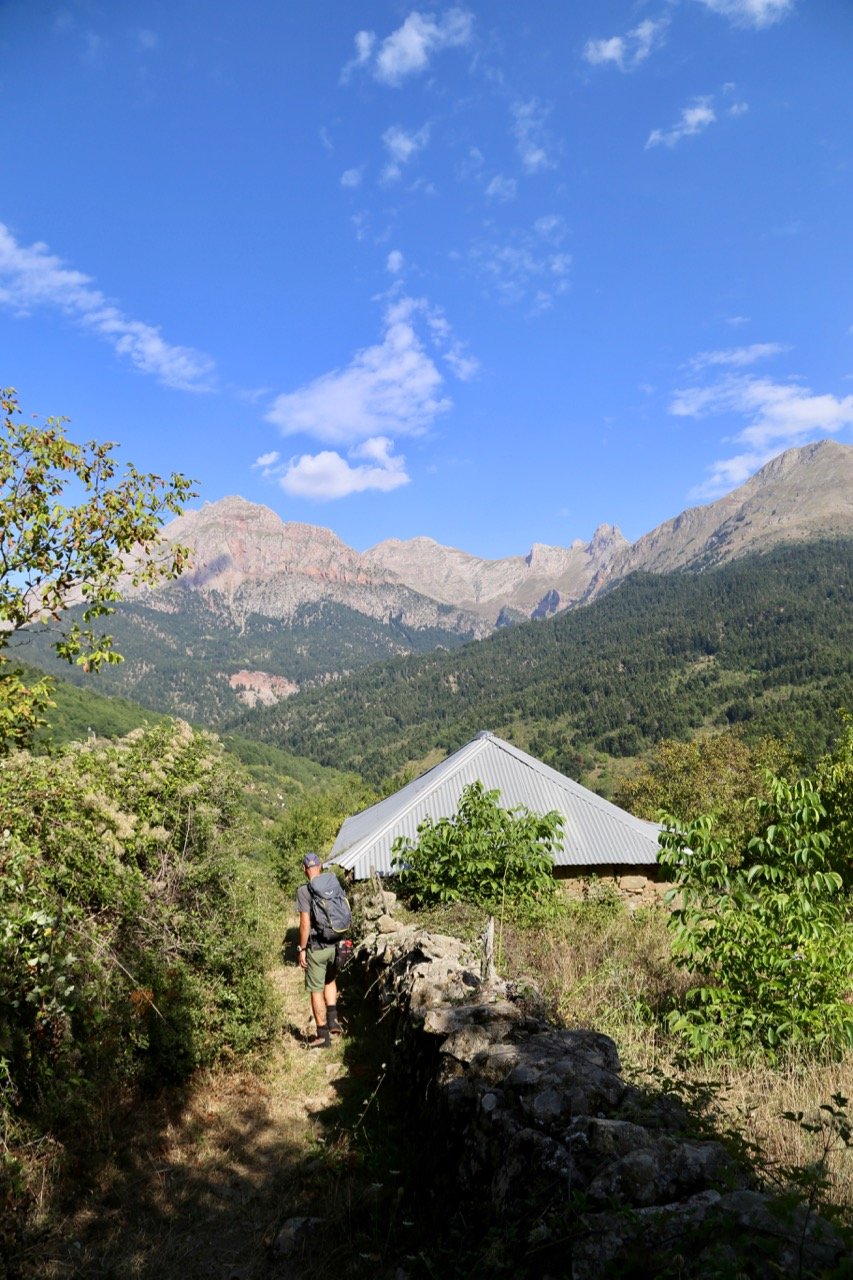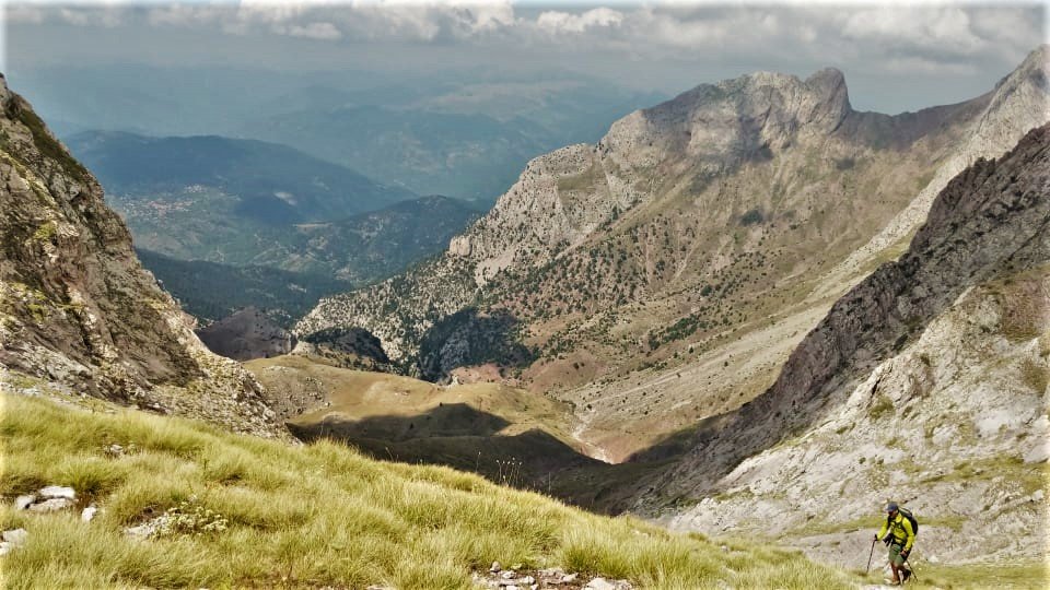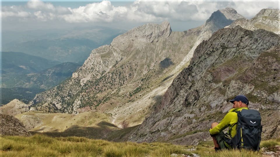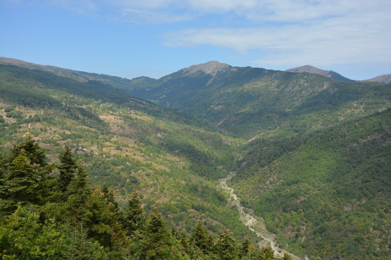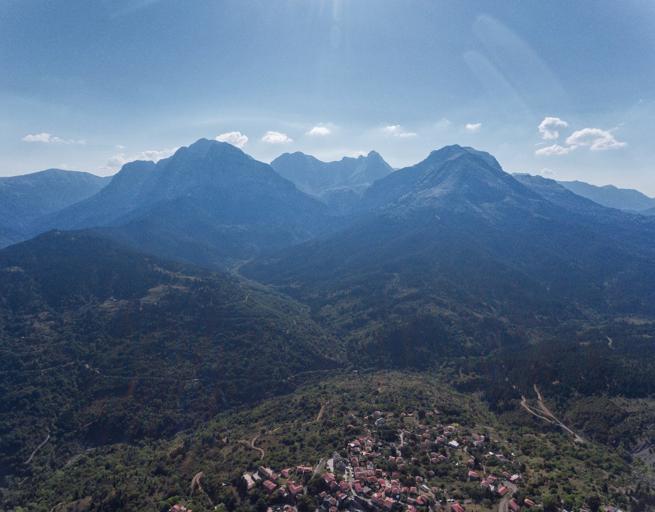
Locating part of the day-long route: Artotina - Soufles 9km
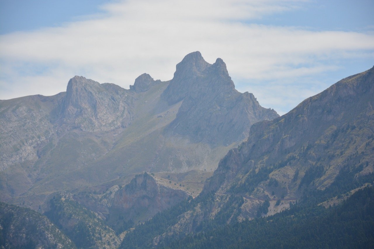
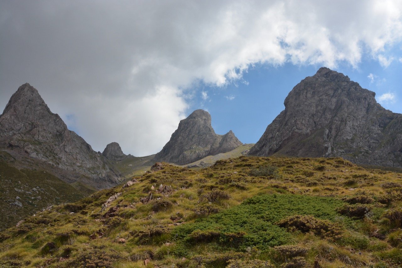
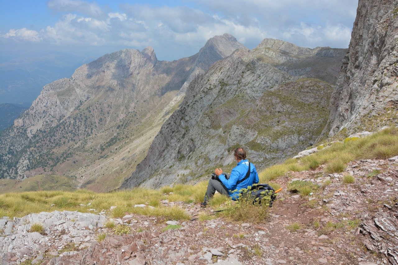
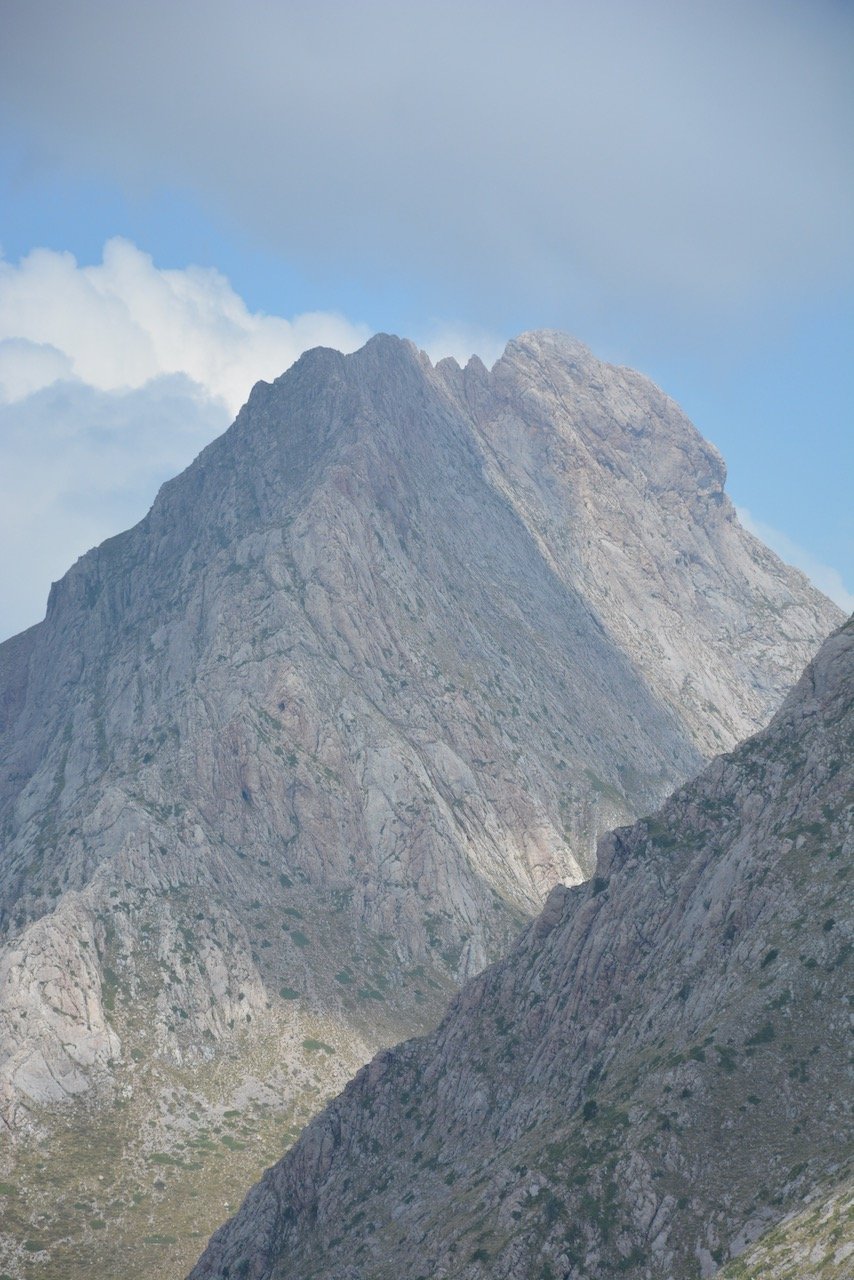
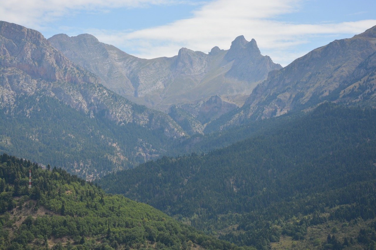
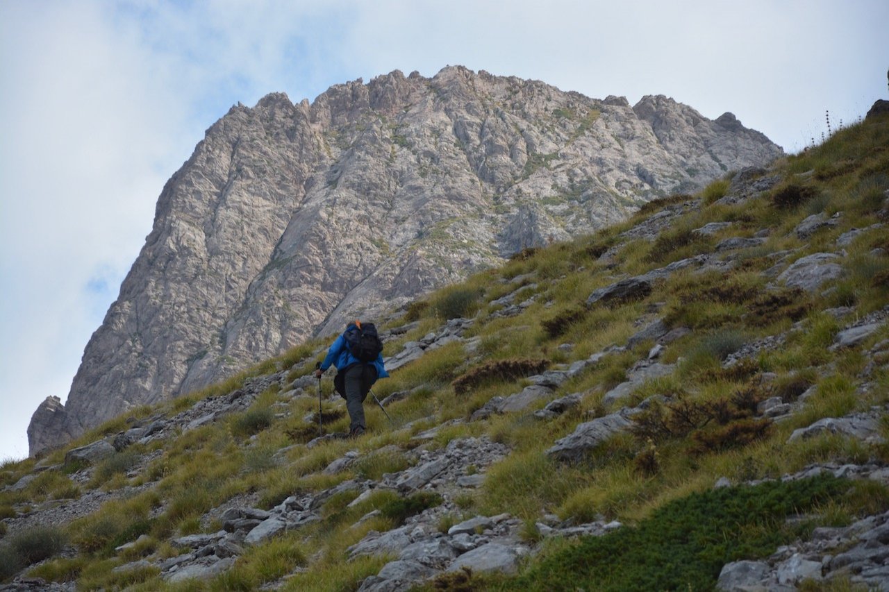
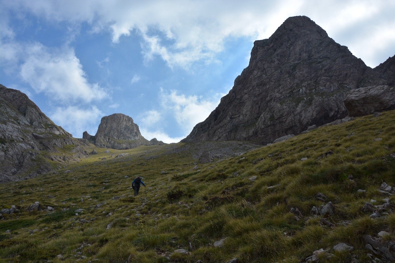
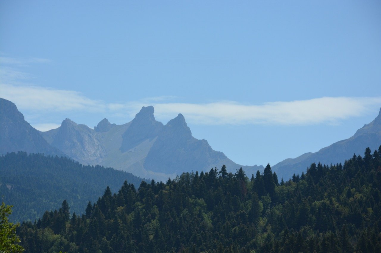
Last week saw the completion of opening and recording 9.2 km of the chosen route connecting Artotina and the western side of Vardousia, up to the ridge between the impressive "Soufles" peaks.
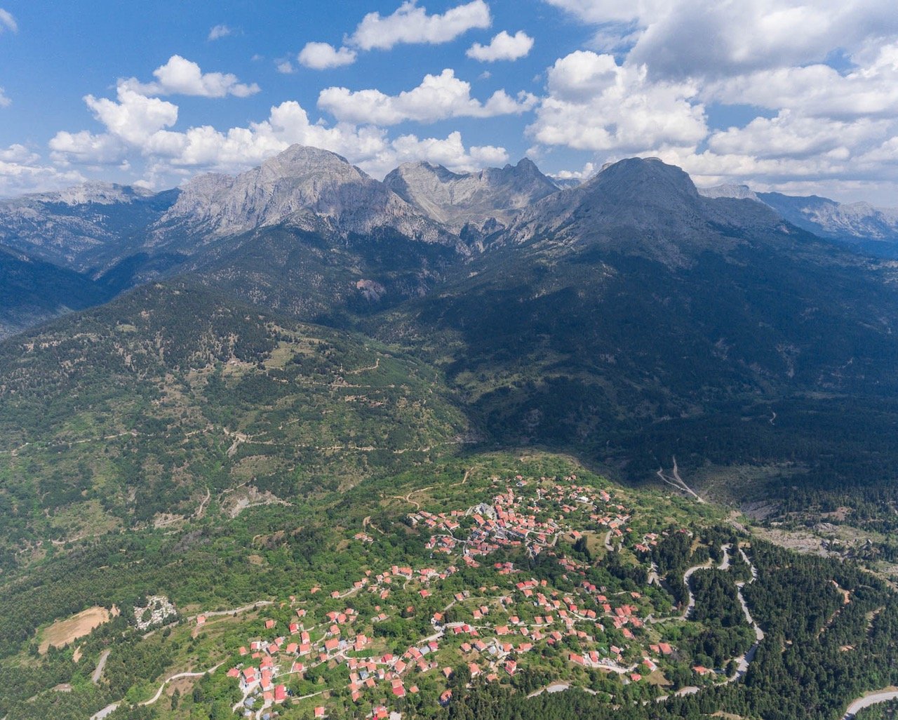
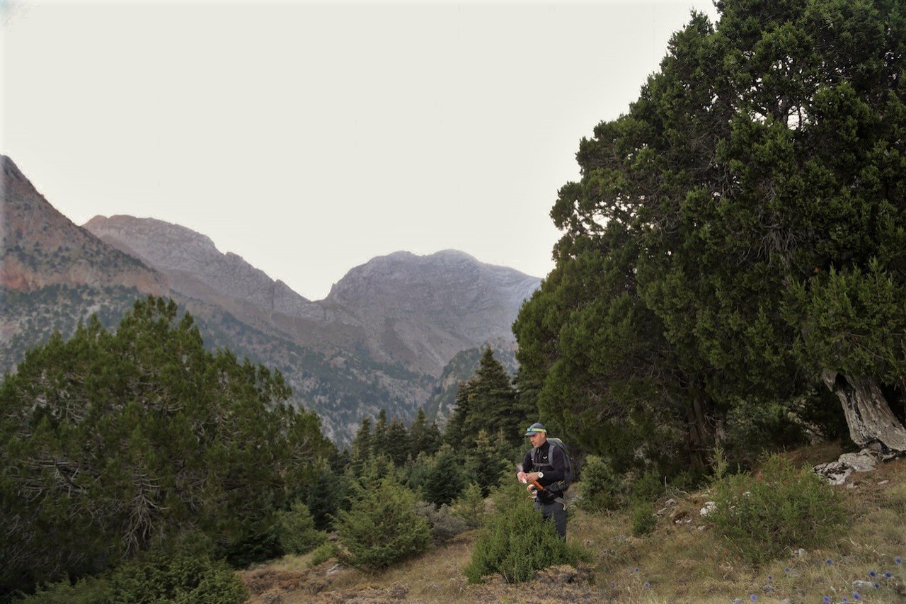
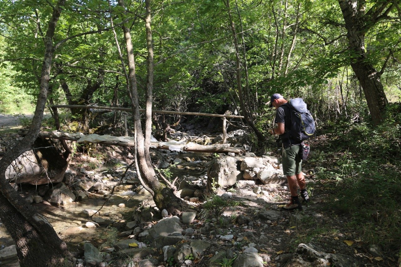
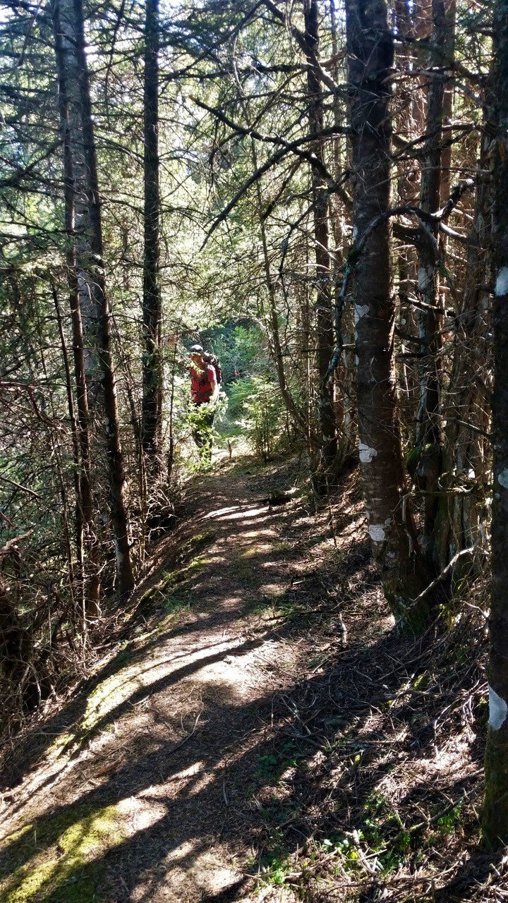
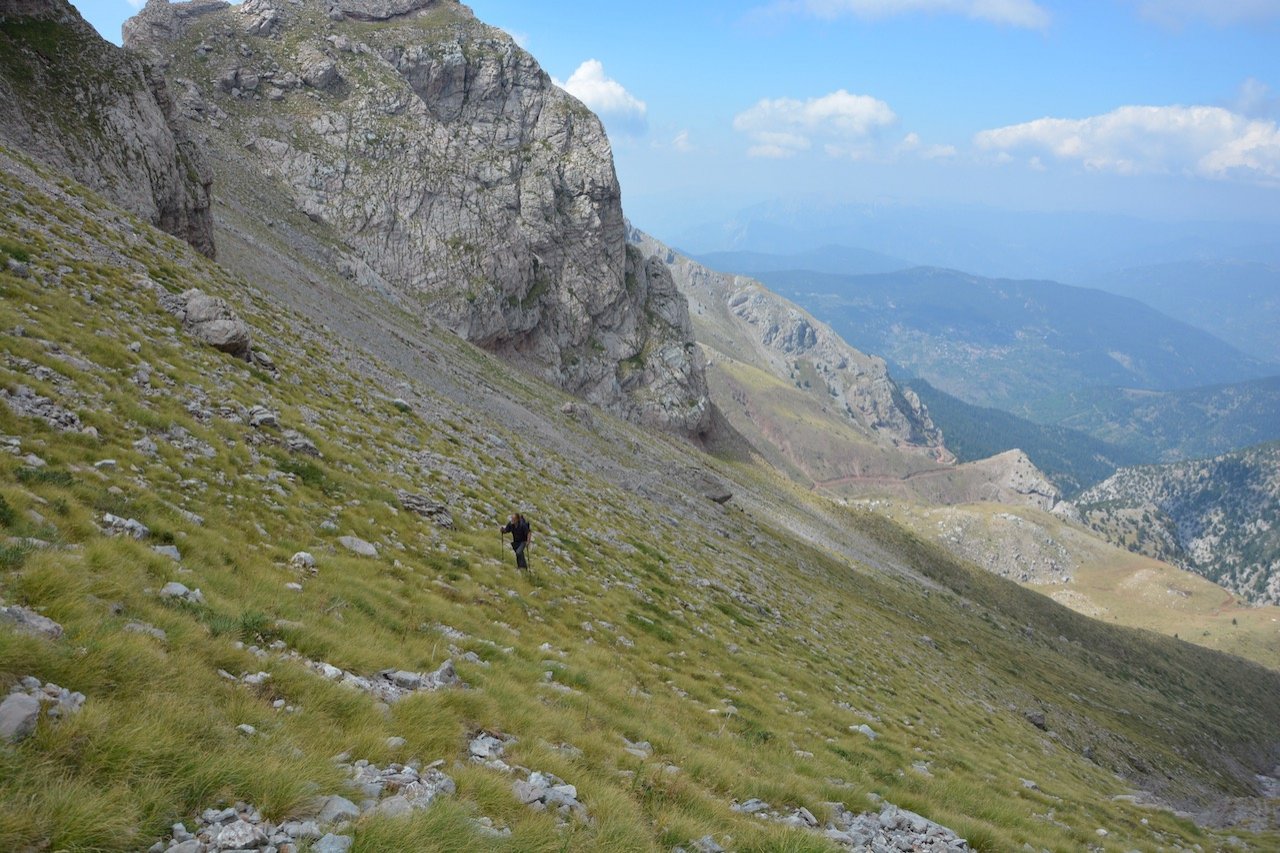
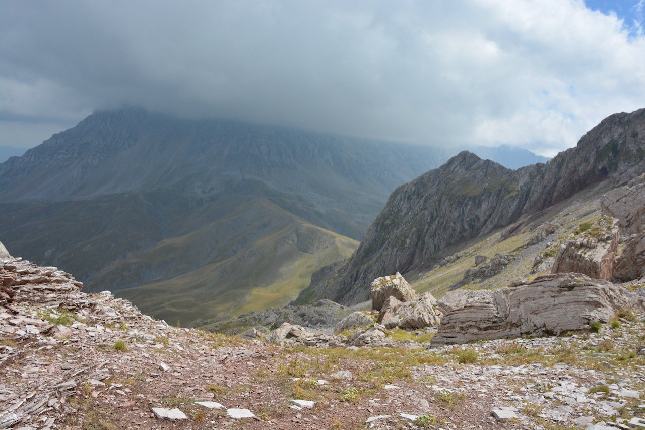
The route is based on the original mule path that was blocked and almost lost under the new growth of the fir and cedar forest, unknown for over four decades even to the locals of Artotina.
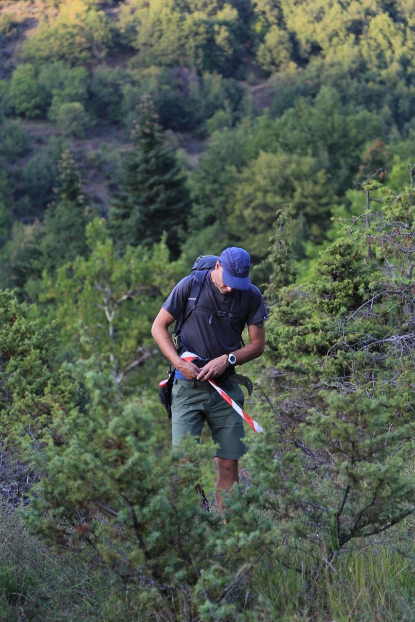
The marking was the result of exhaustive research and moves right along this old local path, located with great difficulty as it was left unused for so many years by both pedestrians and animals due to the dense vegetation.
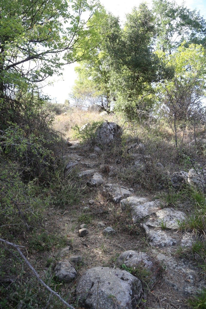
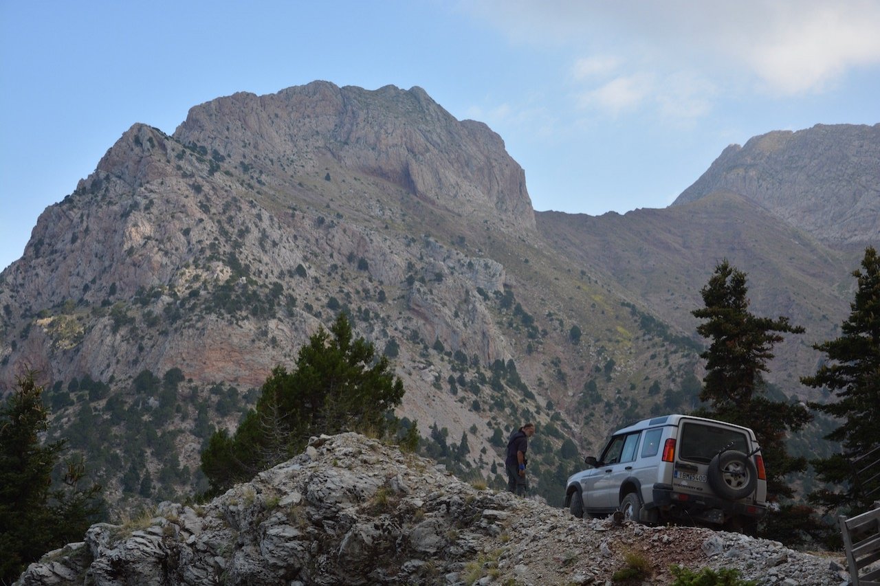
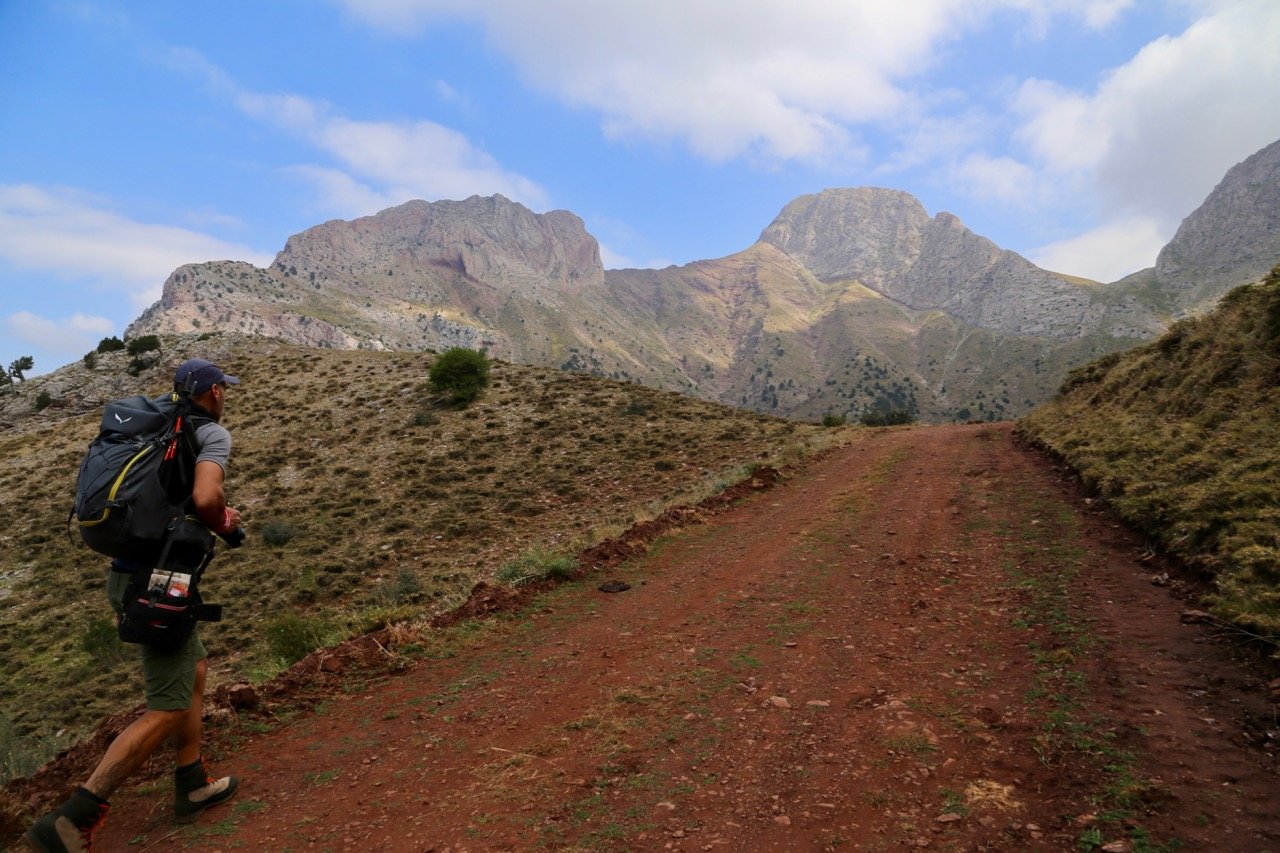
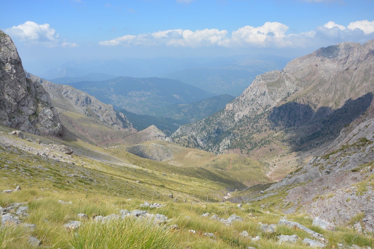
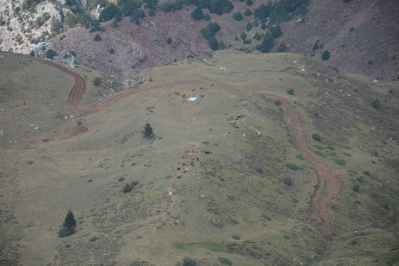
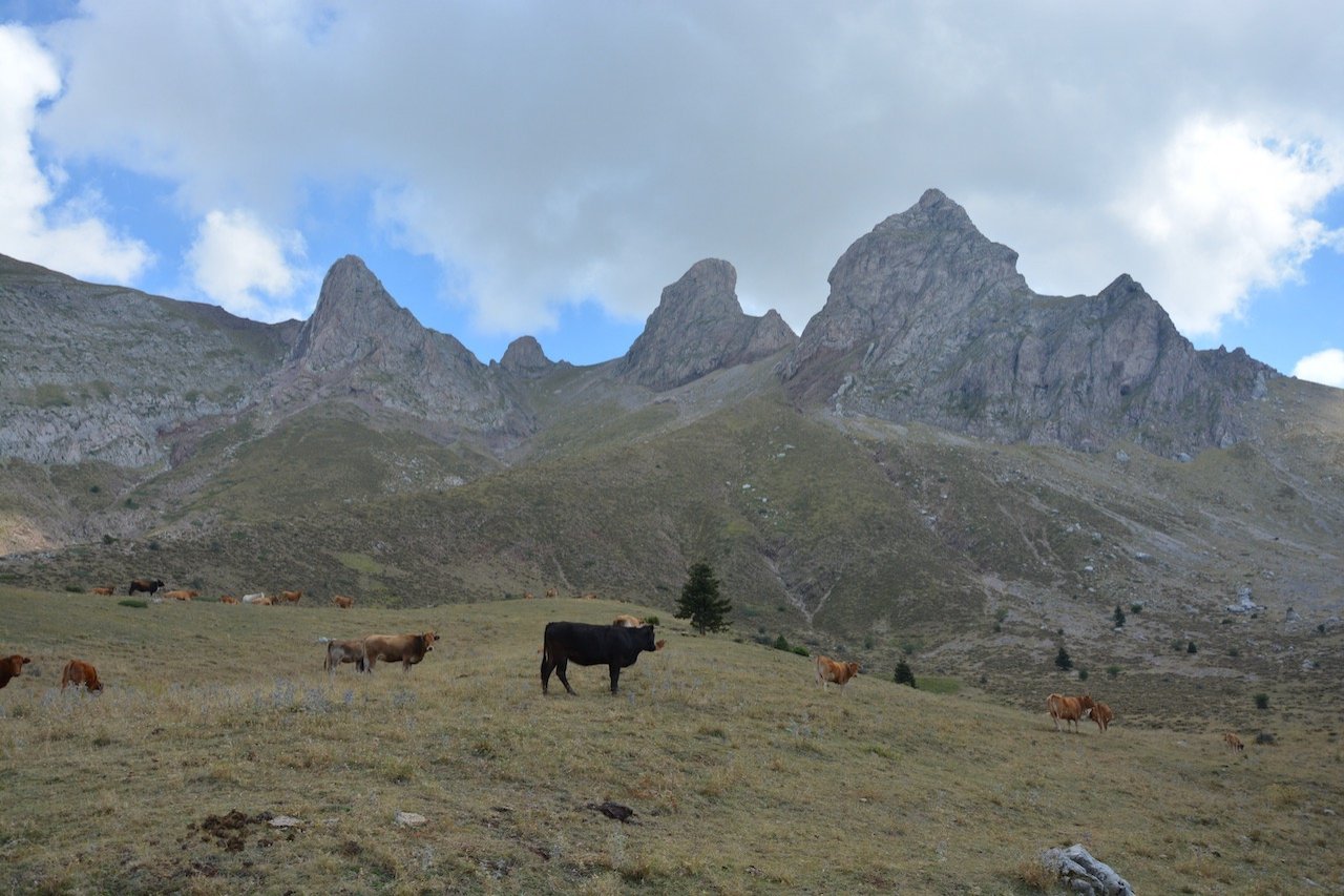
The route moves at a gentle gradient through the forest zone (up to 1500m), sloping more intensely in the sub-alpine levels leading us beneath the Soufles peaks of west Vardousia. Here we need to mention the invaluable contribution of Giannis and Thanasis, (the last two cattle-breeders grazing their herds in the area), in tracing this path, as well as our friend Apostolis, a part-time resident of Artotina, who assisted with our transport.
The route is part of the day-long hiking section which could connect the neighboring mountain refuges of Vardousia with the Soufles and Artotina further west, with a total length of 17.8km.
The tracing & recording of this final section, completes the 96km route of Delphi - Artotina, which runs through the mountains of Parnassos, Giona & Vardousia.
In a few days we will submit the forestry study of the route Delphi- Artotina, to the Directorate of Forests of Fokida for evaluation.
It forms a large part of the Delphi - Karpenisi route, which is the first section of the Pindos Trail, and passes by fourteen consecutive resting stations and villages.
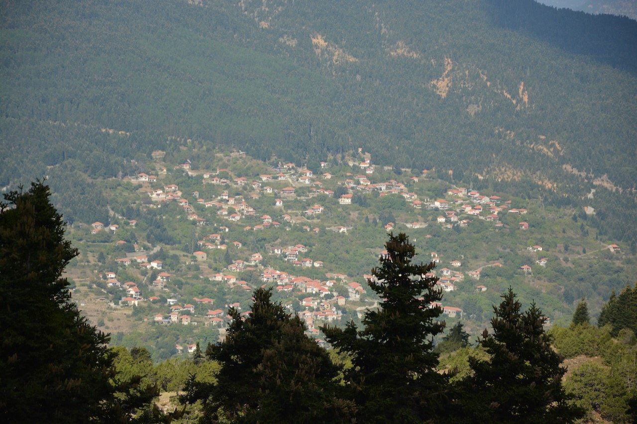
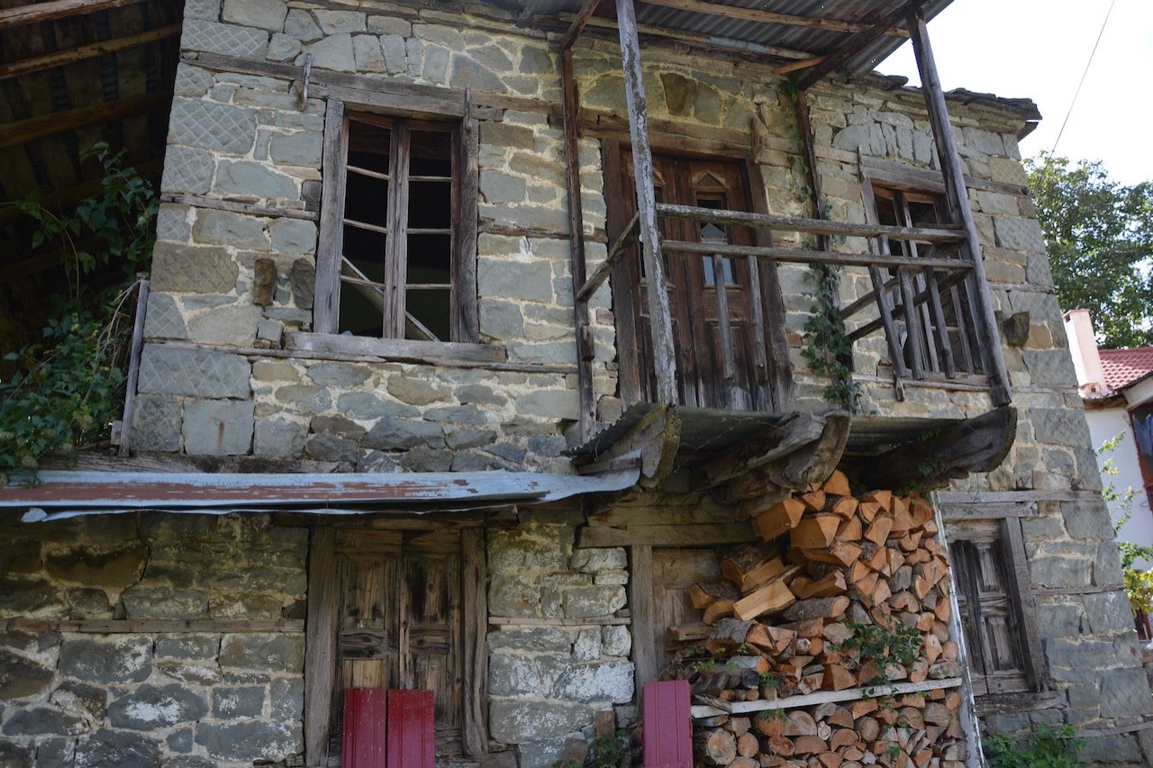
This particular part of the route is important because it connects settlements, villages and monuments, bringing the traveler from Vardousia to Oxia and even further west to Ambliani, Dentrouli and Domnista, through more sheltered paths which move in a mild and varied terrain (forests, valleys, plateaus).
In this way one can avoid the mundane walk on asphalt roads for days on end and ridges exposed to the weather.
The new route was designed in such a way as to offer choices on overnight stations and food every 15-20km of daily crossings and retraces the old local paths.