Daily section 03.> Viniani - Reka - Ghiona`s refuge 12,9km / Fokida, Roumeli
Viniani - Reka - Ghiona`s refuge
The daily section, connects the Viniani village with the Mountain hut "Grigoris Perdikis" of the Trekking Athens Club in Lakka Karvouni and constitutes the first half of Ghiona trekking.
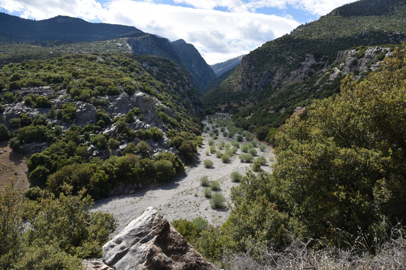
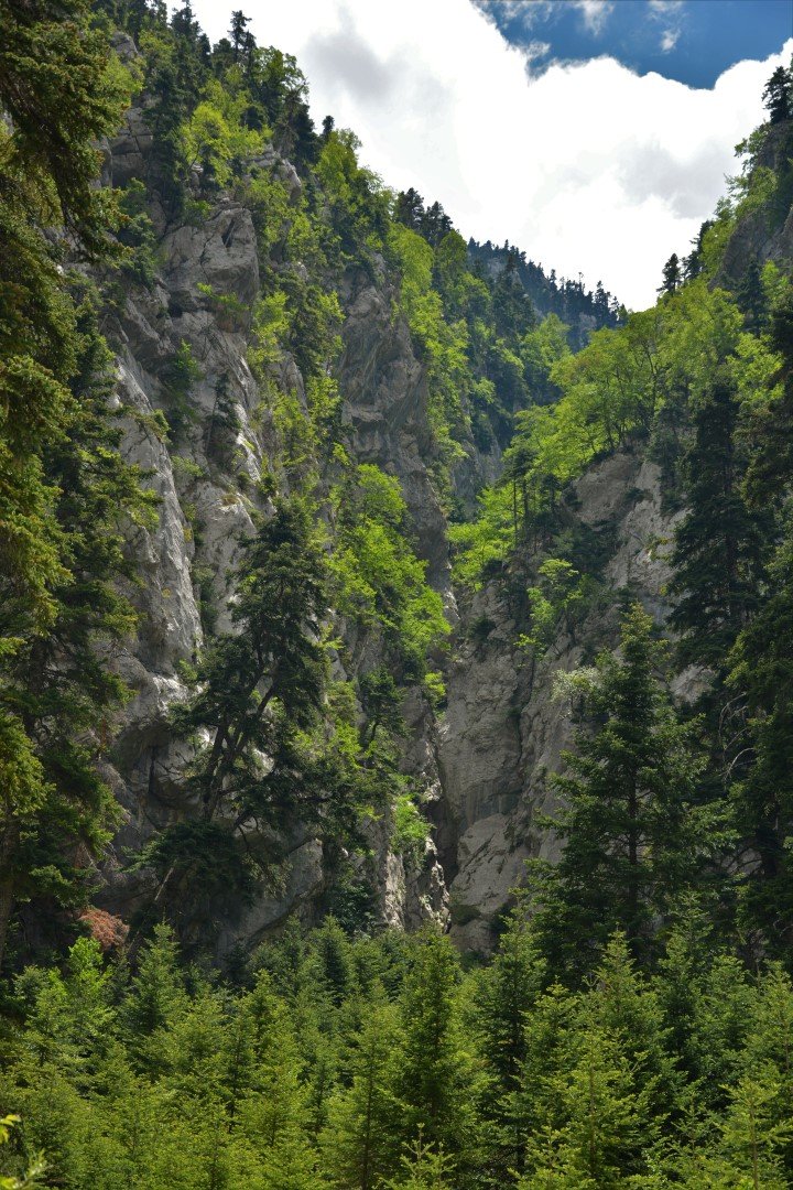
12,9km of length, the route follows the Reka canyon, an area of utmost aesthetic value.
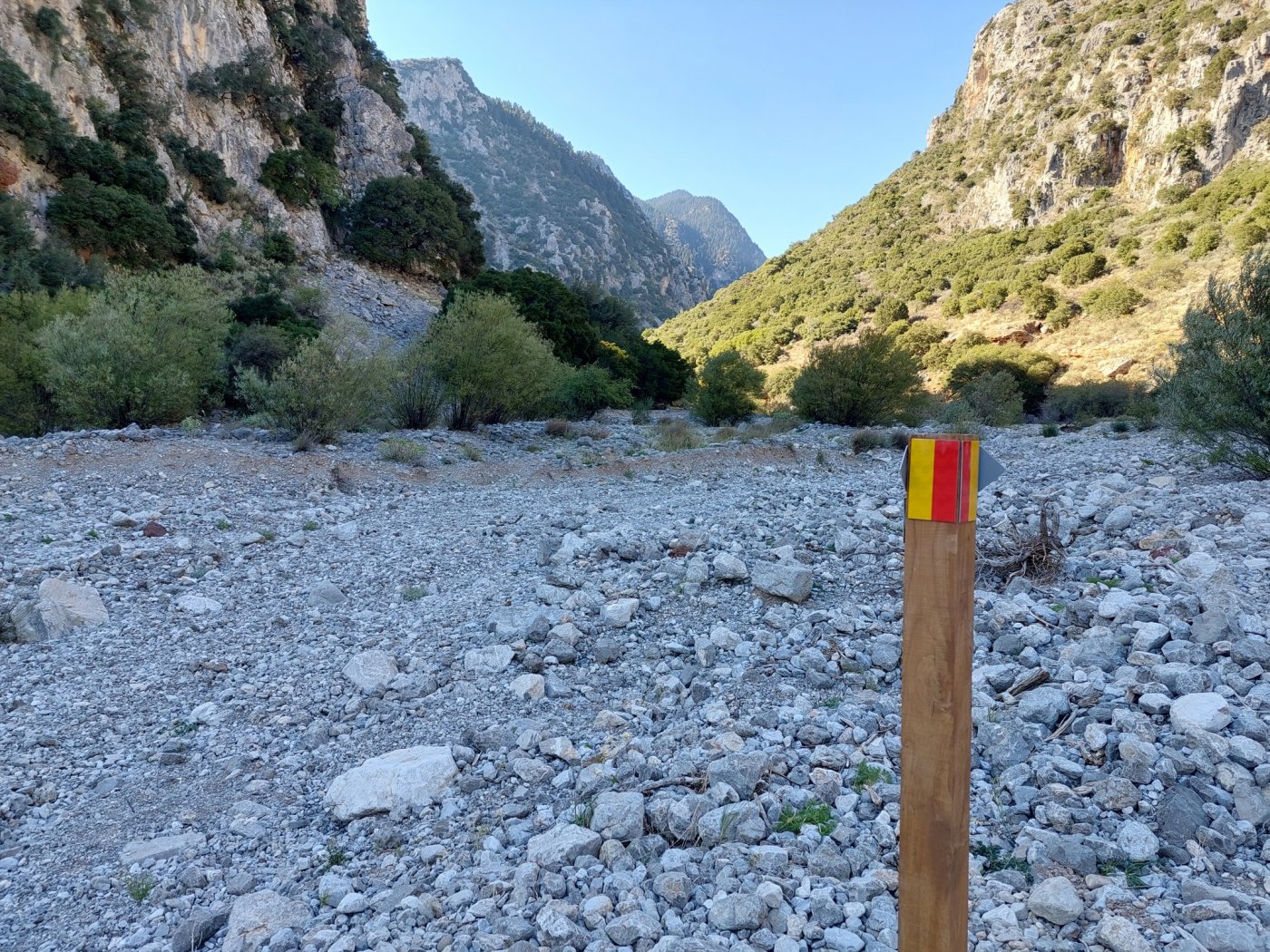
From the entrance of the canyon, the route goes on for another 4Km into the dry formerly stream, until “Milos” spot.
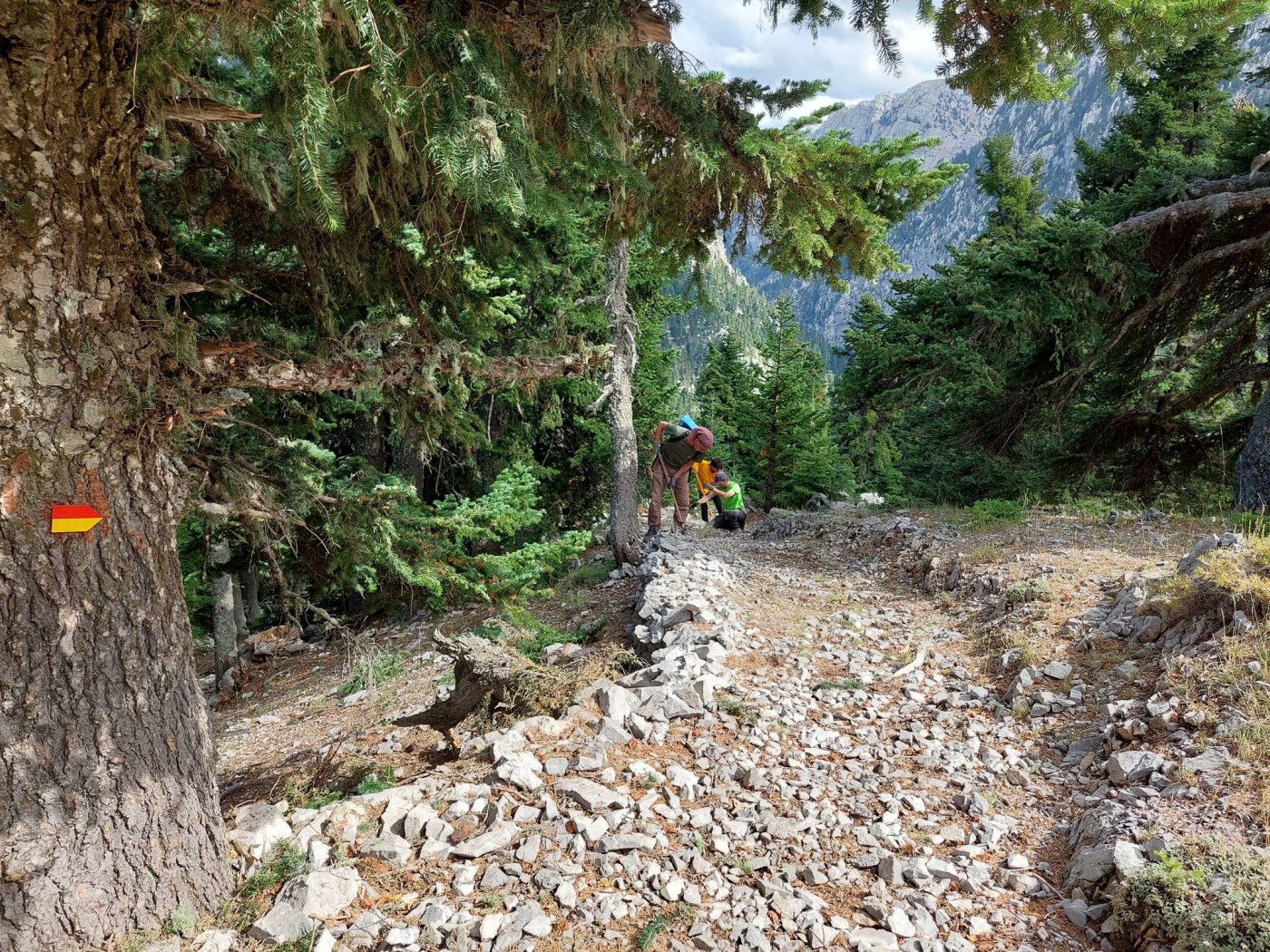
Nowadays, no remains of the old watermill are found in the area. Very close to this place, we come across with the old path to the highlands, which still preserves at parts the supporting stonework and paving.
> In case of emergency, going upwards against the dry stream of Milos, there is a cistern with water.
> There is also a water main which overfloods in two spots along the length of the creek bed from Viniani to Milos.
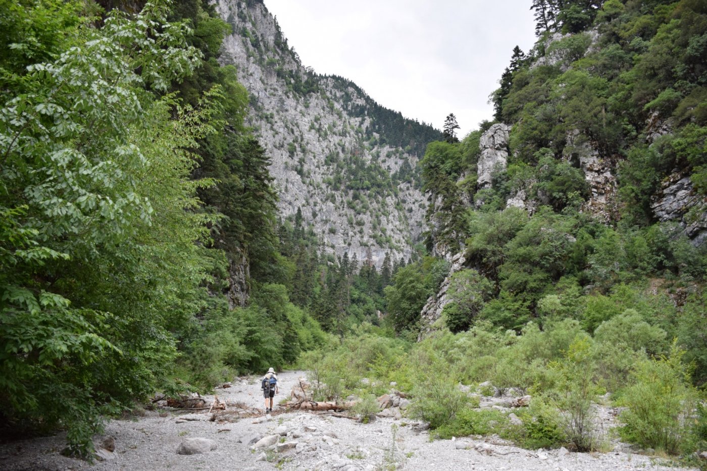
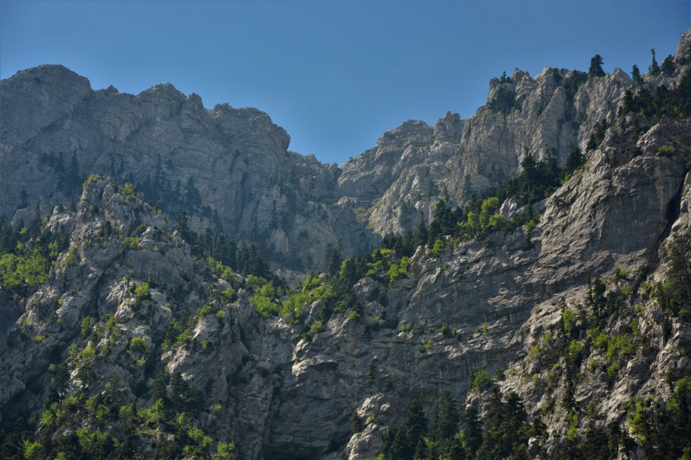
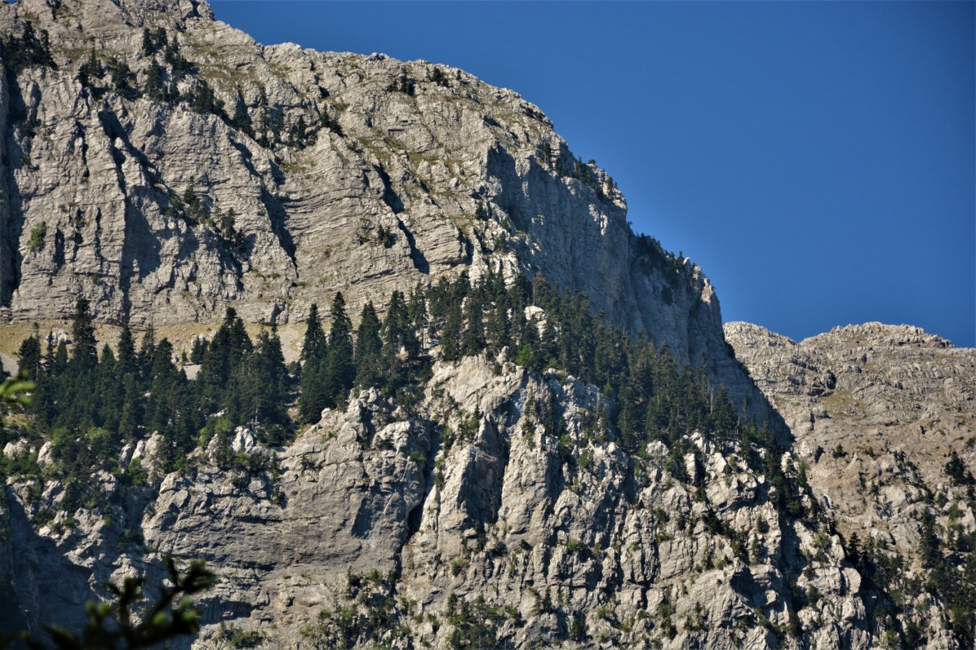
The route moves on with gentle upward inclinations along the rest of the canyon, following a traverse on the full of woods slopes of Reka. It further expands through the impressive cliffs and stone figures that rise above the path like giants.
> In the area “Platilithos” (see the map) there is potable water with low flow running from high above, the gathering of which requires an amount of patience.
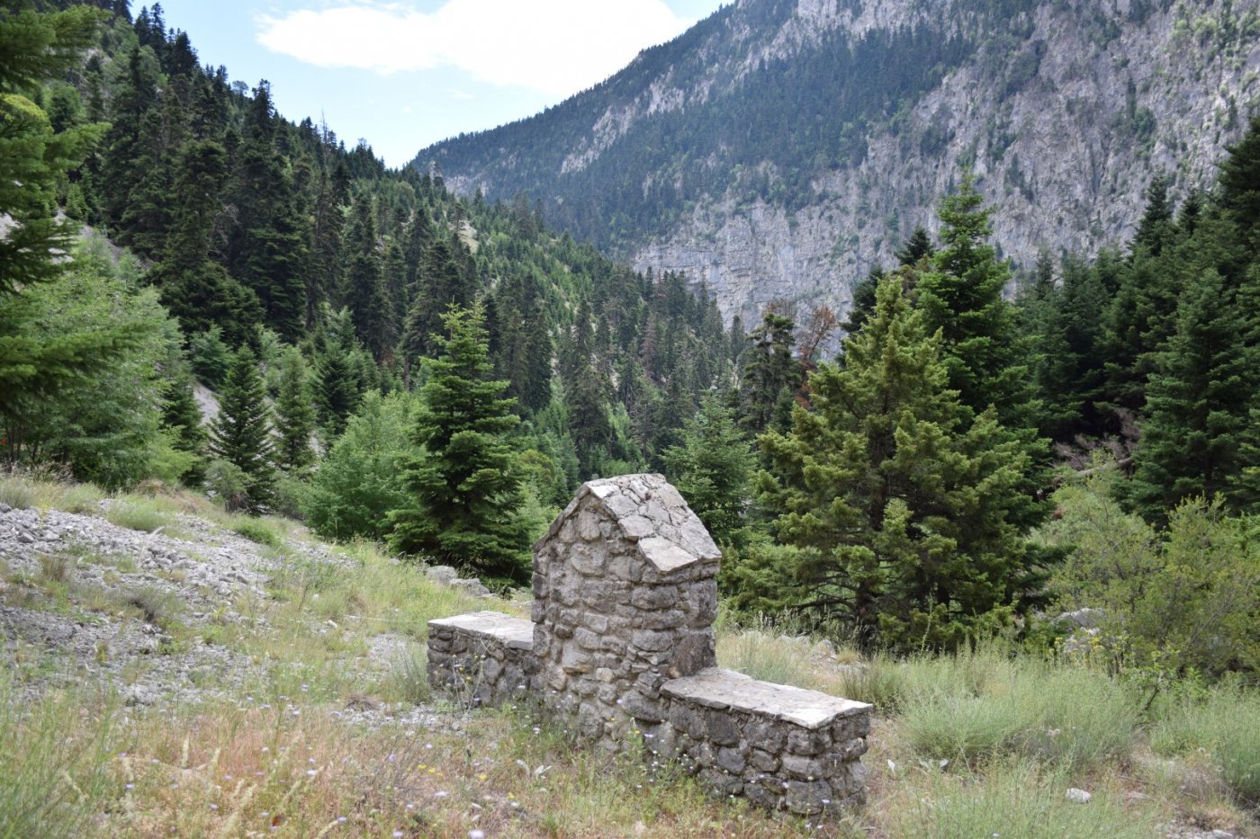
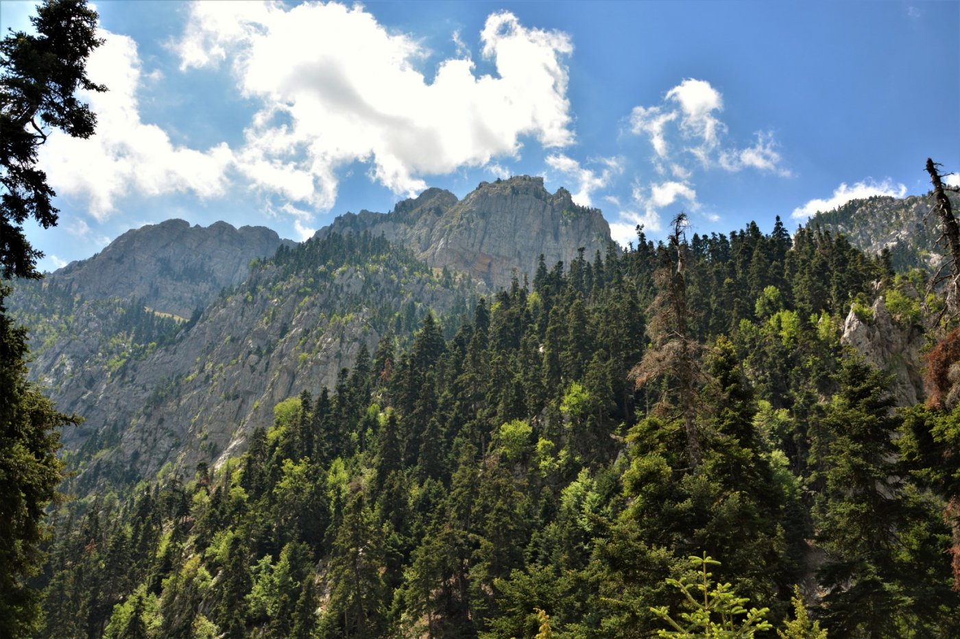
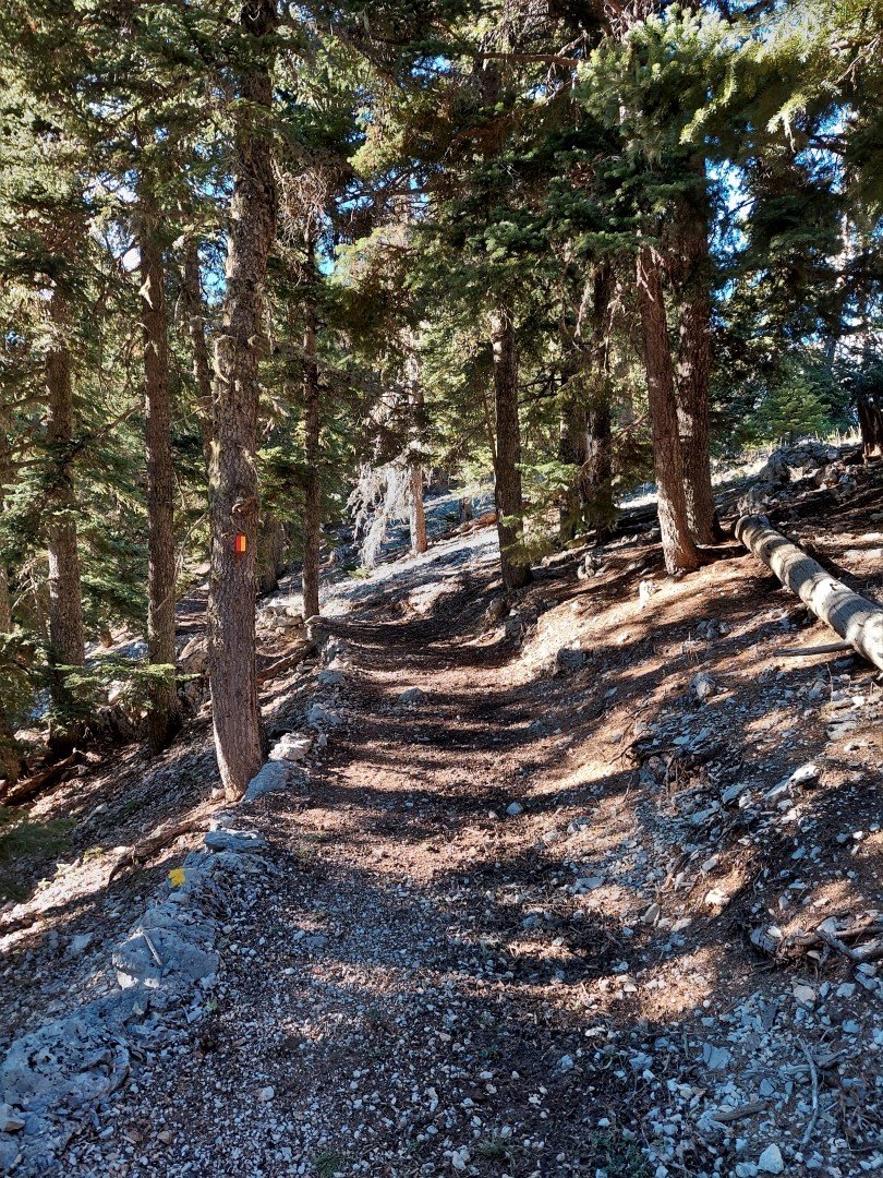
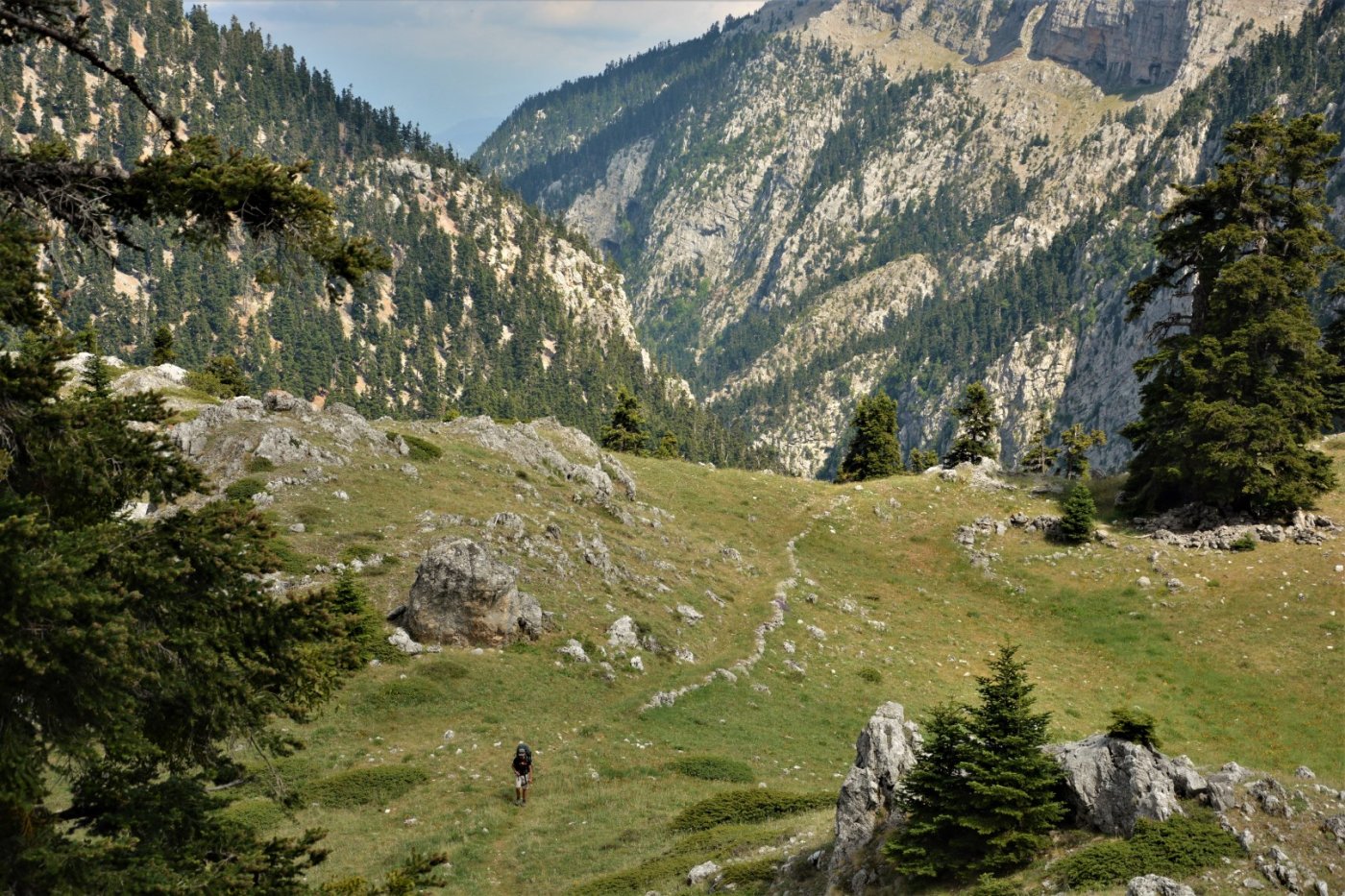
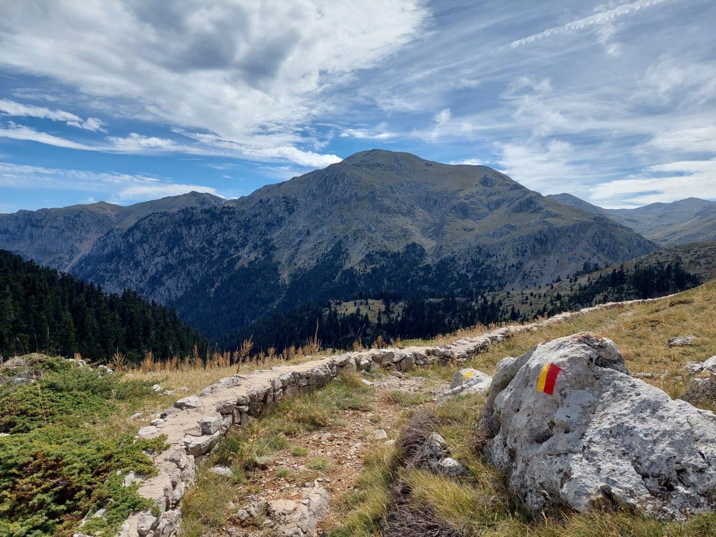
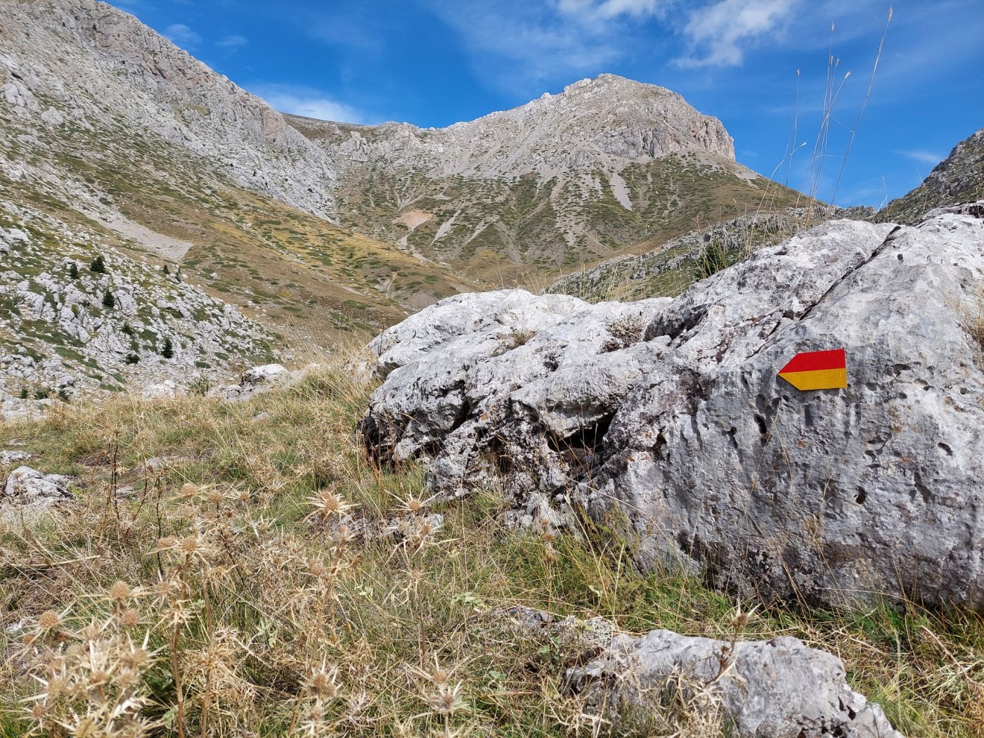
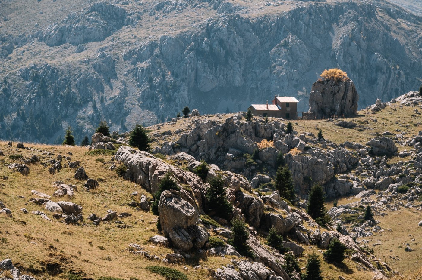
On the upper part of Reka, we find the spot Dighali and the exit from the canyon, where a walkable path curls upwards and leads to the highlands and Laka Karvouni with its shelter built on an altitude of 1.753m.
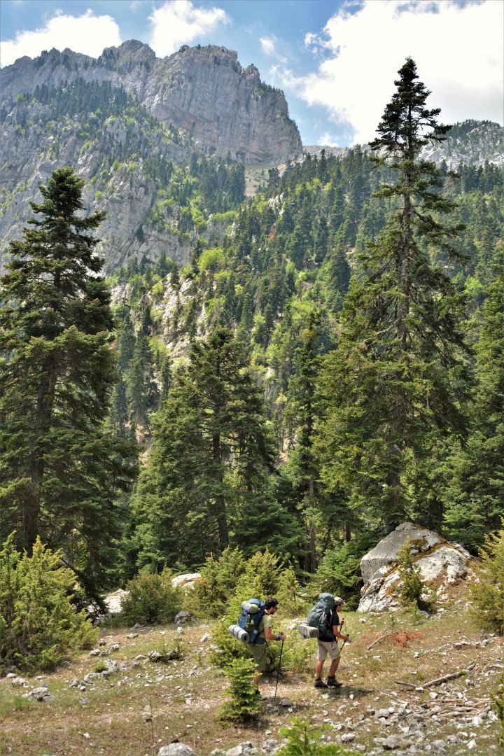
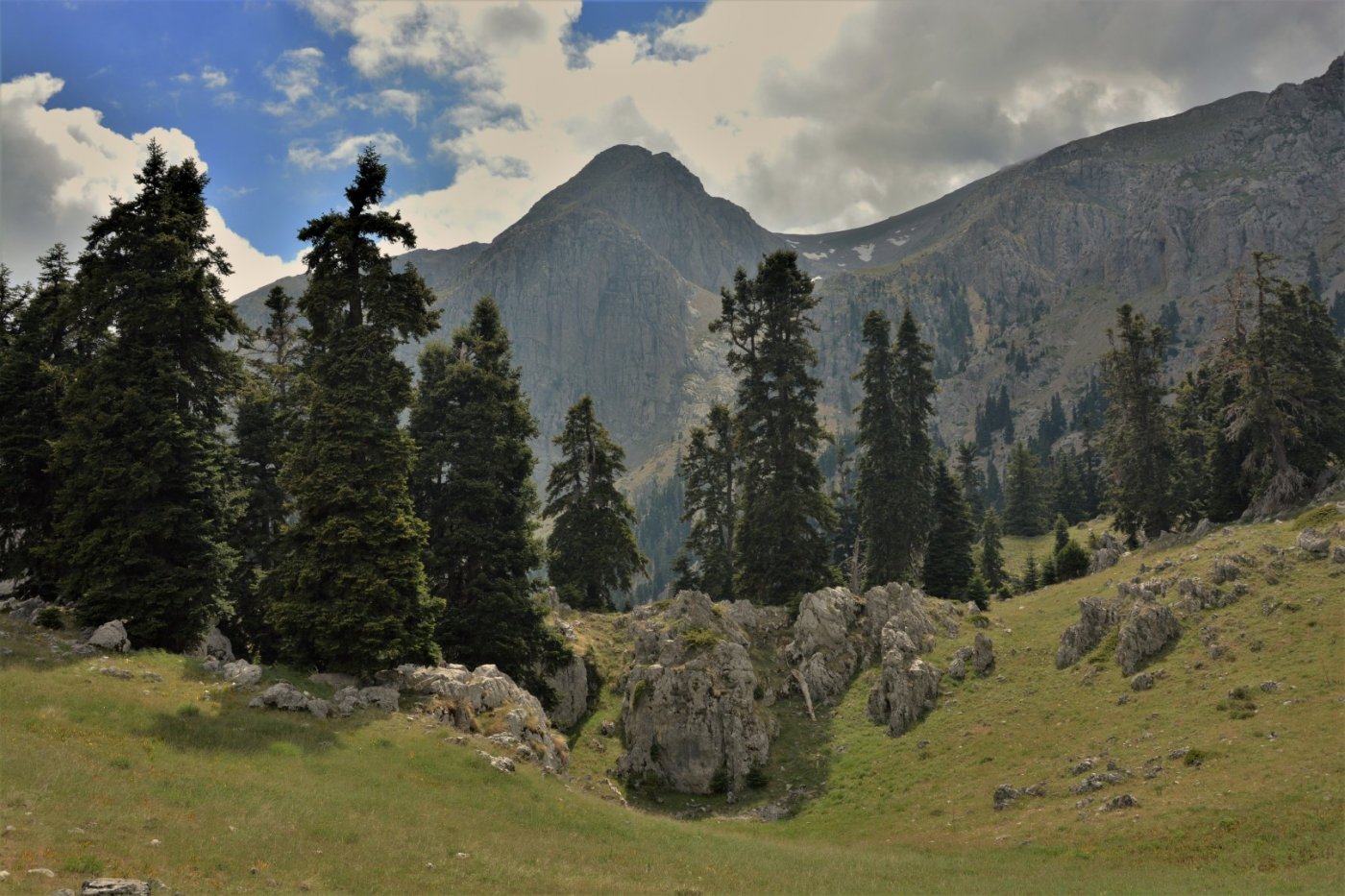
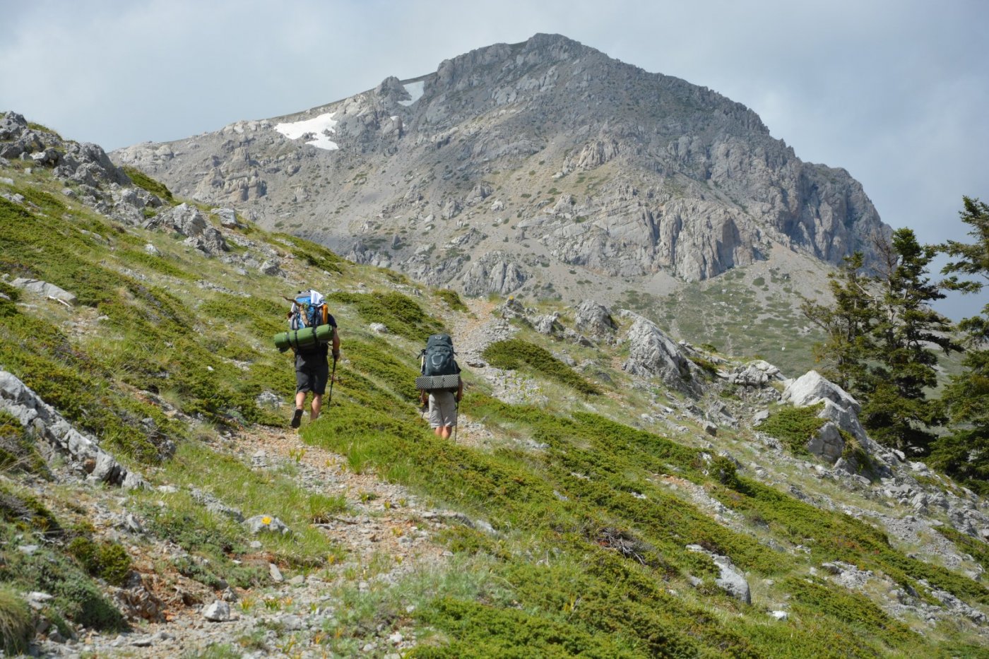
While reaching the final part of the ascend towards the Ghiona shelter
(Grigoris Perdikis), the water catchment emerges as well as the alpine landscape with the highest summit of Ghiona, the Pyramide, dominating the view on the west.
>In the area of the shelter there is potable spring water flowing throughout the year.
> It is suggested that you save enough water in Viniani, as the springs found along the route, are seasonal and of low flow.